
Land Management
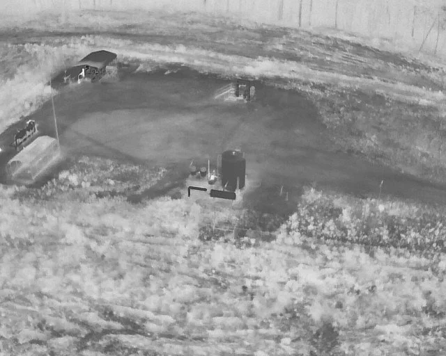
Transform raw land data into strategic insight. Our drone-based surveys give landowners, farm managers, and developers a comprehensive view of their acreage without time-consuming ground efforts.
Acreage & Boundary Surveys: Detailed orthomosaic maps for property valuation, fencing planning, and site development.
Forestry & Vegetation Audits: Assess timber growth, monitor forest health, and plan selective harvesting ethically and efficiently.
Erosion Control & Hydrology: Map runoff channels, track soil moisture, and plan effective water control structures.
Infrastructure & Fence Line Monitoring: Easily inspect miles of perimeter fencing, access roads, and remote assets in minutes.