

SERVICES
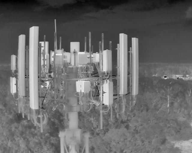
Thermal Inspections
Detect unseen critical issues before they become costly repairs. Using advanced high-resolution radiometric thermal sensors, our UAV flight missions capture detailed thermal data across large, hard-to-reach infrastructures to protect your high-value assets with precision aerial intelligence.
Aerial Energy Audits & Insulation Scans: Detect HVAC heat loss and building envelope inefficiencies to optimize energy use.
Thermal Roof Inspections: Identify trapped moisture, roof leaks, and structural degradation non-destructively. ASTM C1153 alignment.
Electrical & Solar Audits: Spot overloaded circuits, failing electrical components, and defective photovoltaic cells early. IEC TS 62446-3 Standards-Based Data Collection and NFPA 70B alignment.
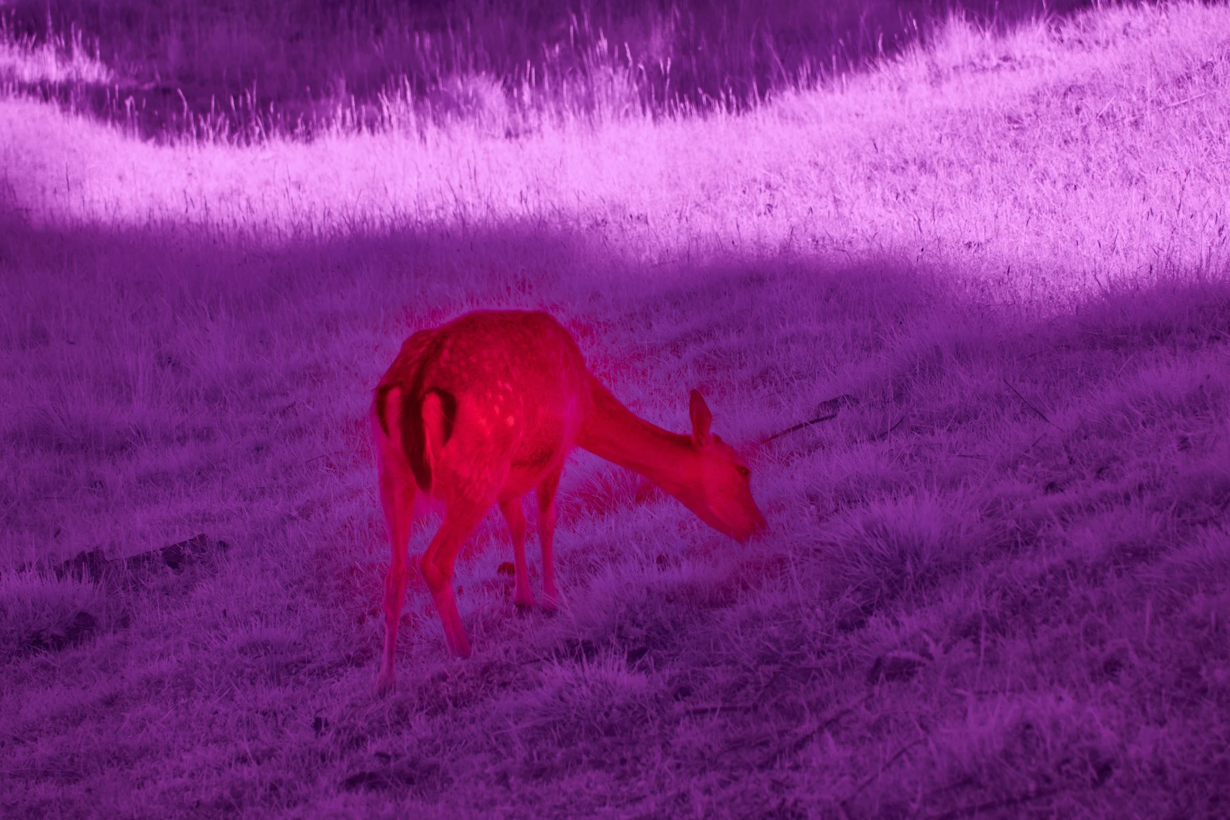
Aerial Thermal Game Recovery
Recover downed big game quickly, ethically, and efficiently utilizing high-resolution radiometric thermal imaging sensors to scan dense timber, brush, and rugged terrain to locate game without disturbing surrounding wildlife or disrupting the landscape.
We provide real-time GPS coordinates and live video feeds to help hunters or landowners pinpoint their precise position, minimizing search time and preserving meat quality.
Money back guarantee if game can not be located.
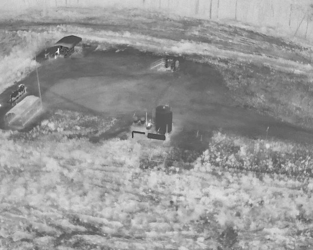
Land Management
Transform raw land data into strategic insight. Our drone-based surveys give landowners, farm managers, and developers a comprehensive view of their acreage without time-consuming ground efforts.
Acreage & Boundary Surveys: Detailed orthomosaic maps for property valuation, fencing planning, and site development.
Forestry & Vegetation Audits: Assess timber growth, monitor forest health, and plan selective harvesting ethically and efficiently.
Erosion Control & Hydrology: Map runoff channels, track soil moisture, and plan effective water control structures.
Infrastructure & Fence Line Monitoring: Easily inspect miles of perimeter fencing, access roads, and remote assets in minutes.
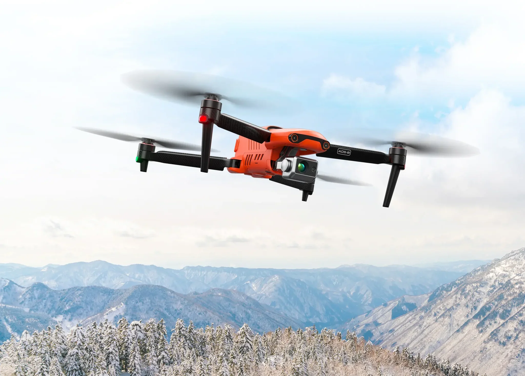
Equipment
Equipment that exceeds industry standards
Autel EVO 640T Enterprise
Thermal Resolution: 640×512 thermal sensor with full radiometric data capture (4x higher than minimum requirements)
Georeferencing: RTK-equipped aerial capture
Radiometric Data: Professional-grade temperature accuracy of ±3°C or ±3%
Veteran Owned & Operated
Our drone inspection business is built on expertise, precision, and a commitment to safety. As a U.S. Coast Guard veteran and aviation mechanic, I bring hands-on technical experience identifying potential issues and operating in environments where reliability and attention to detail are essential.
Contact
We will get back to you in 24-48 hours.